03.10.2017 - Update
Due to the recent tragic events in Las Vegas, and out of respect for the victims and their families; we are diverting all Icarus Trophy pilots to a new finish line and continuing the race on an adjusted schedule.
We're in regular contact with the pilots, who are all safe, as are the race crew, pilot ground support teams and friends of the race on the road with us.
The race will continue and the new finish line has been confirmed as being in the Greater Moab area
Our thoughts are with everyone affected.
The Adventurists
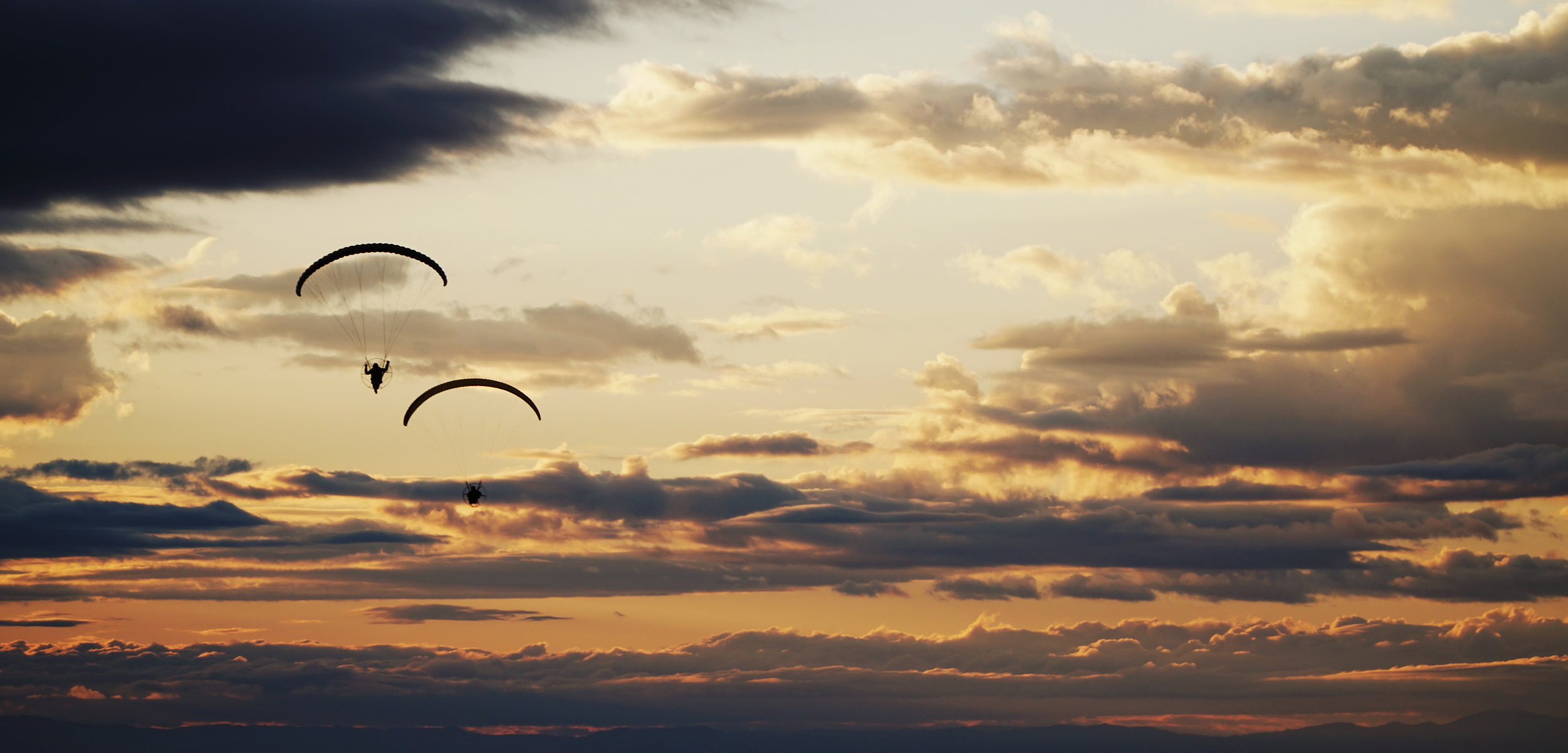
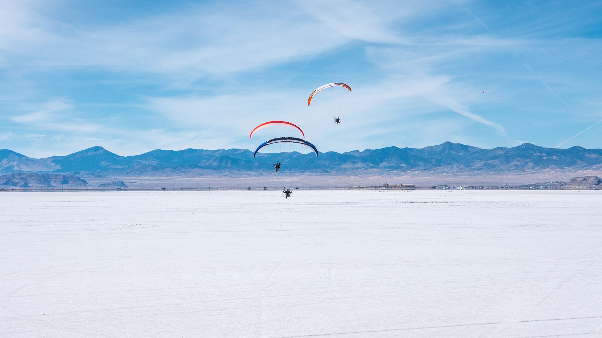
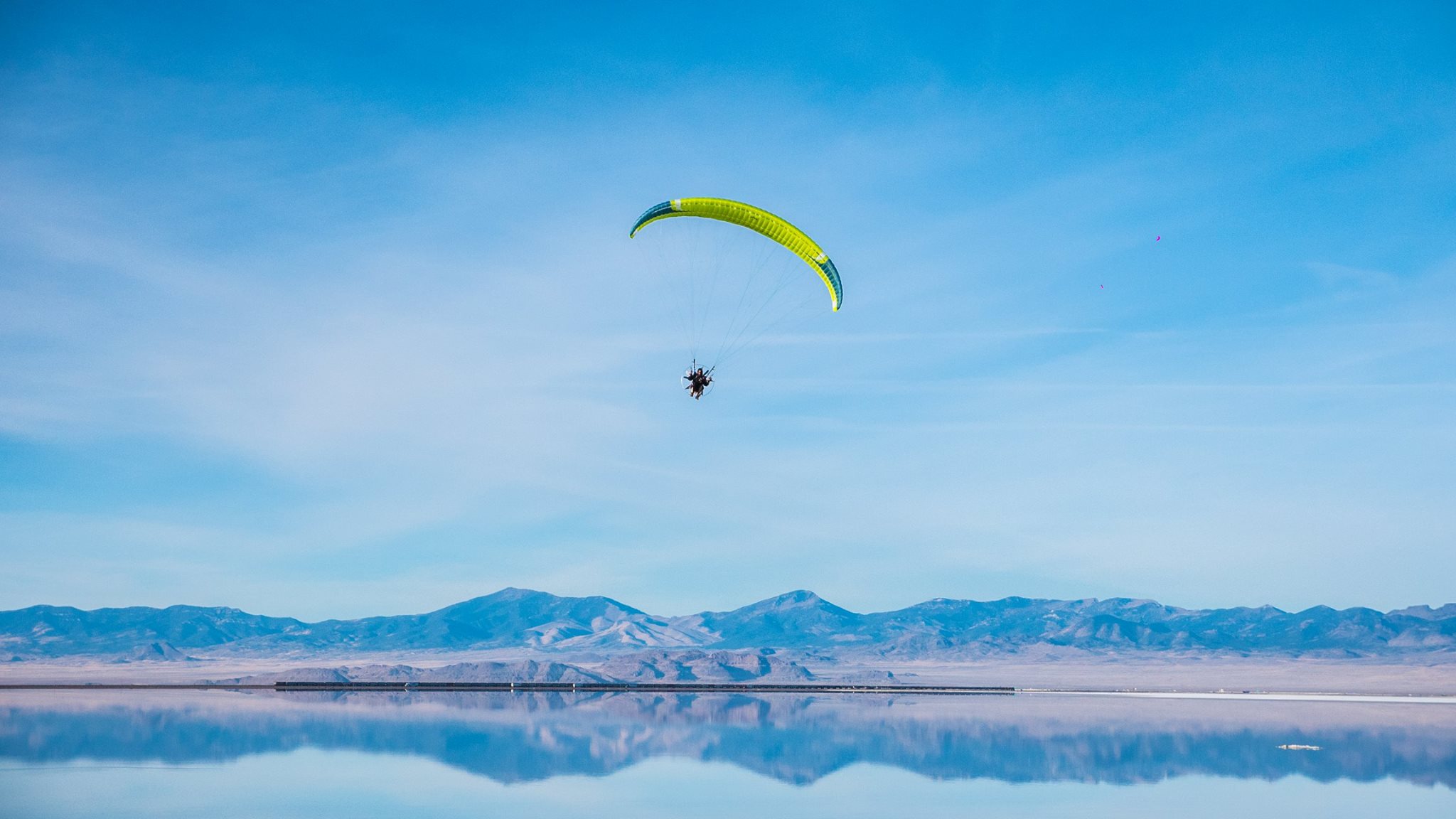
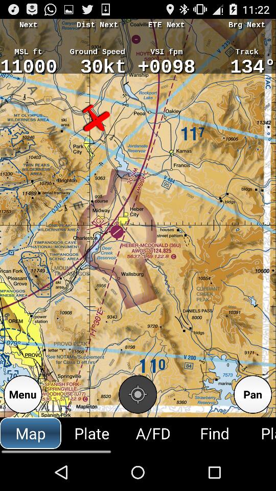
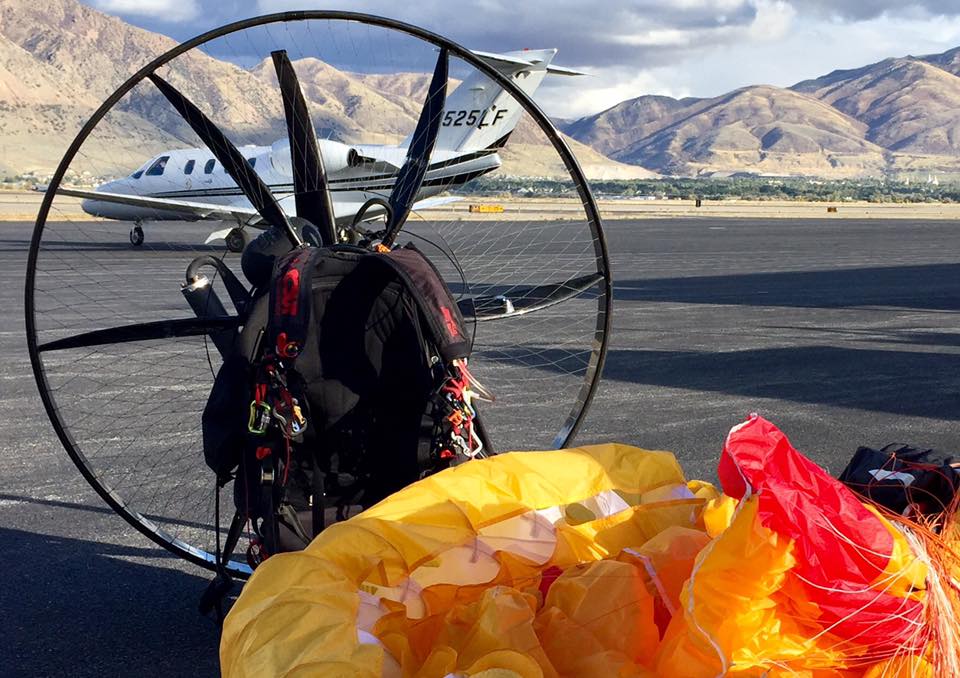
If you are a pilot or a paramotoring nerd of the first degree, you may wish to see the SkyVector files that our course designer and race director Mr Shane put together for our pilots. These are not the prescribed course (pilots are responsible for setting their own, planning their own fuel stops and overnights, or freestyling accordingly if they are too balls out for planning of any kind), but they do spell a tentative suitable course from start to finish.
Here's the Race Class route
Here's the Adventure Division route
The difference, in a sentence or two? Adventure division pilots cut the corner off and they don't have to do the checkpoint at Monument Valley. Instead, they'll cut south-west from Spanish Fork Canyon and head past Zion National Park (NB - NOT over it...)
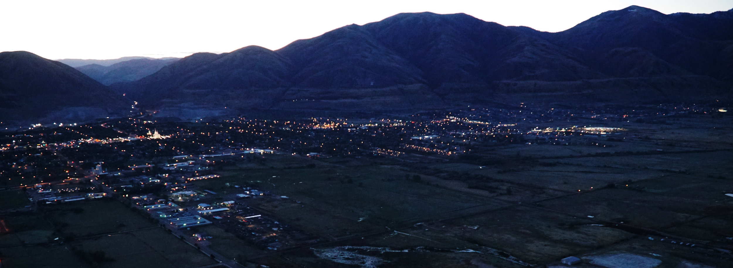
Everyone will split in the badlands of Utah after a night on the tiles in Wendover, hopefully. This should be where the Adventure Division Trophy is won and lost, as Wendover is the gambling outpost of the region and backdrop of a hundred trucker/prostitute unions. Fingers crossed.
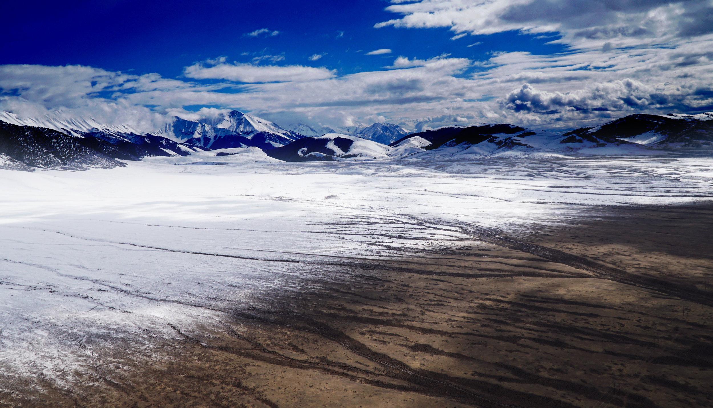
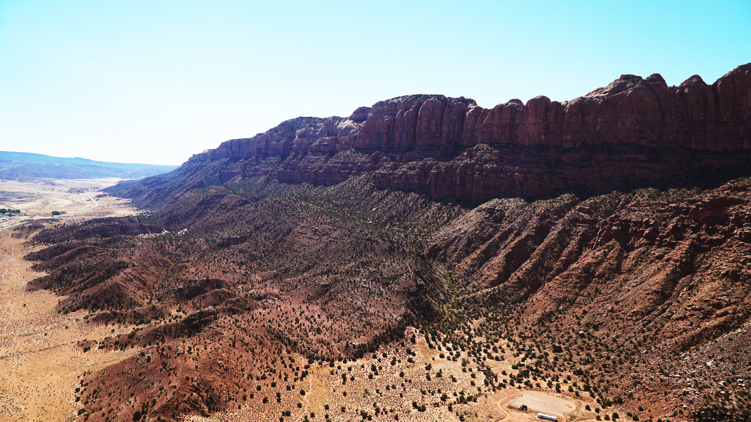
They'll head down the I-15 corridor through more high desert and down the foothills of the Wasatch towards the towns of Fillmore, Beaver, and eventually Cedar City. After passing Cedar City, the landscape and topography begin to change into the red cliffs and rocky region that southern Utah is known for.
The route takes racers directly past Zion National Park as they head into the town of St. George. Pilots will have to circumnavigate the controlled airspace east of town and head directly toward the Virgin River Gorge as they cross the Arizona border.
Pilots will have to decide whether to go high over the Paiute and Beaver Dam wilderness areas (2000’ above ground) or risk flying through the gorge down low - the weather will be the determining factor.
After the last “gauntlet” in the gorge, pilots will have a 10-mile sprint to cross the gates and finish at the Mesquite Municipal Airport, where they will be showered with libations and praise for completing the world’s toughest air race. Route mileage is approximately 847nm in total.
Meanwhile, in race class, there's an additional 230 miles or so of deliciousness to contend with. There are several different ways of getting to Monument Valley, but the most obvious seems to be starting up Spanish Fork Canyon just north of Santaquin.
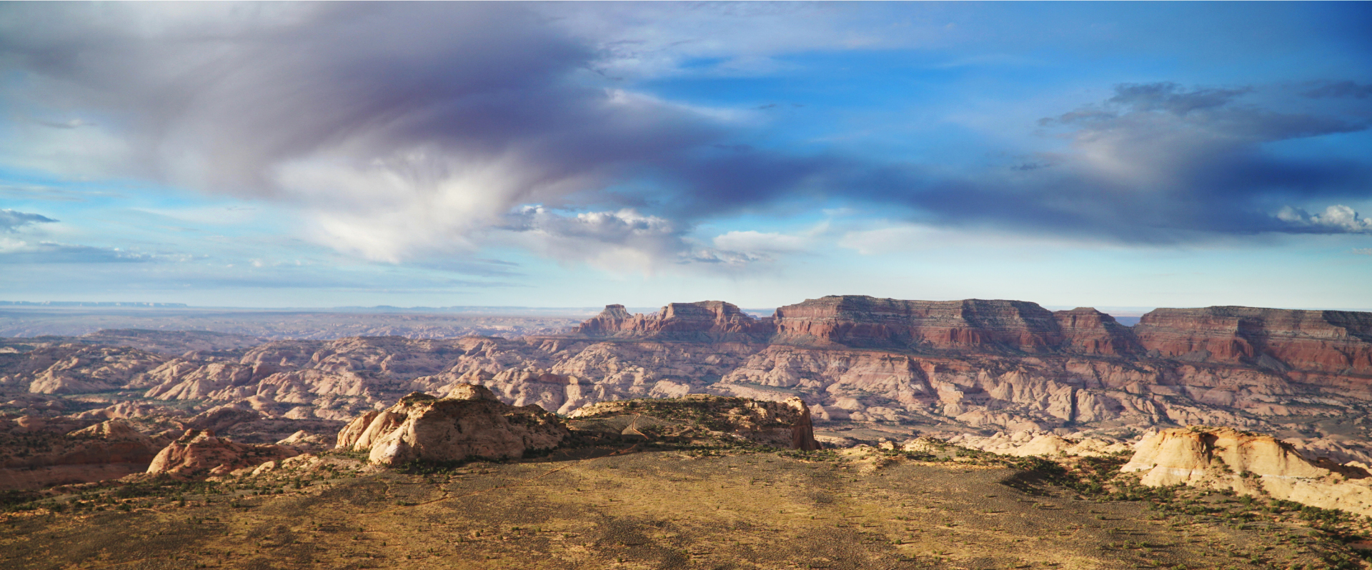
A long uphill pass crossing that spans over 25 miles following highway 6 towards Price is the gateway to eastern Utah. From Price, pilots will have to figure out the best way to get around Canyonlands and Arches National Parks that are so quintessentially “southern Utah.” (they must NOT fly over these parks under any circumstances!)
Race division pilots are encouraged to head southeast to Green River, then head directly for Crescent Junction on Interstate 70 before moving south between Canyonlands National Park and Arches national park through Moab. This route will give the most options for refuel, as going west of Canyonlands is out in the certifiable “boondocks.”
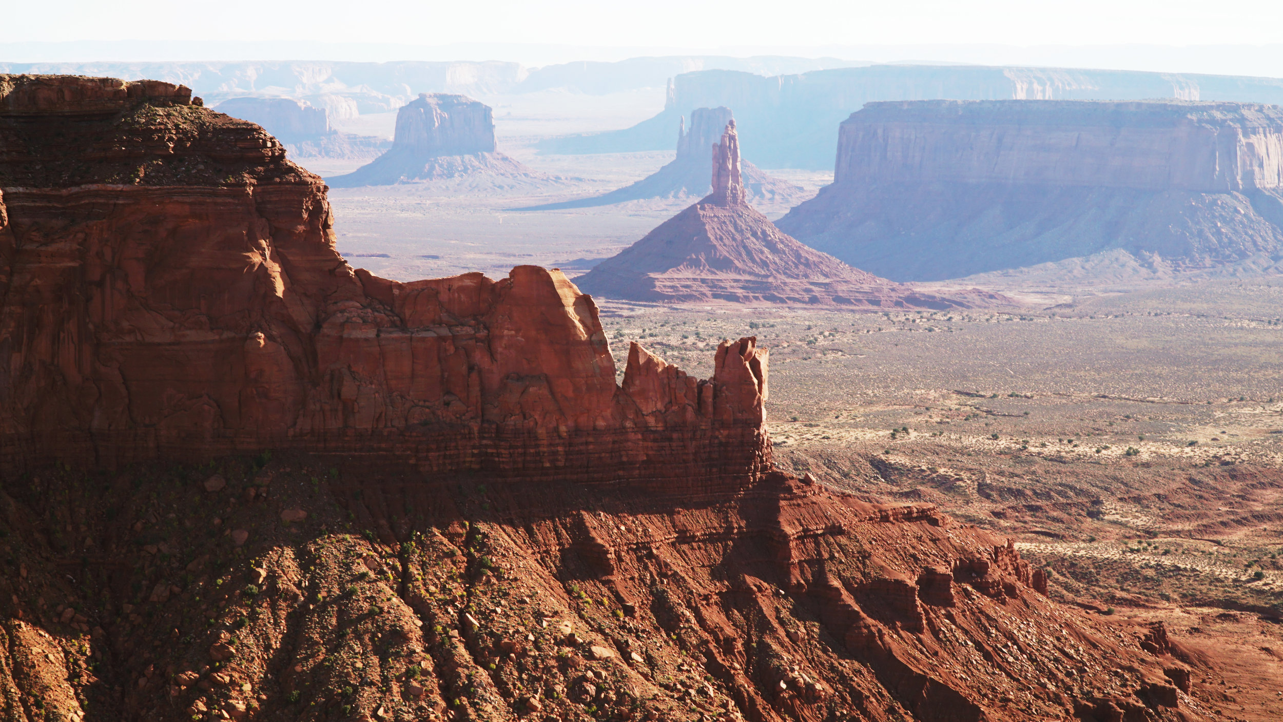
Following the fuel stops, pilots will follow Hwy 191 through Moab, Monticello, Blanding, and “Mexican Hat” - the last fuel stop before Monument Valley.
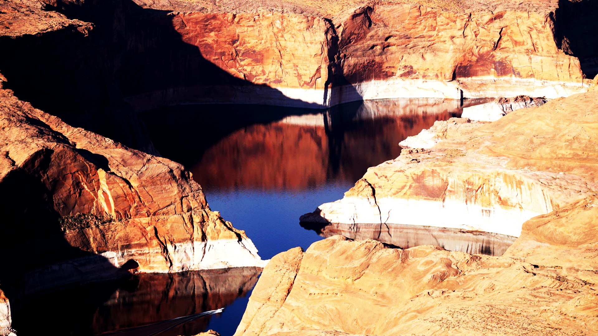
Pilots are encouraged to land at Goulding’s Airport in Monument Valley for a quick fuel stop but are only obligated to fly “around” the checkpoint before heading due West for Page, AZ. Page is the easternmost point of the Grand Canyon, and pilots will have to jump through a few hoops to avoid the restricted airspace as they cross the Colorado River near Horseshoe Bend.
Flying north of the Vermillion Cliffs wilderness area, pilots are rewarded with frankly preposterous views of southern Utah that most 'normal' people will never enjoy.
Racing along the north rim of the Grand Canyon, pilots will find friendly airports and fuel stops in Kanab, UT and Colorado City, AZ as they criss-cross back and forth over the state border heading towards St. George.
From St. George, the Race Division pilots re-join the Adventure Division route to fly the Virgin River (gorge) all the way to Mesquite, NV. Route mileage total is approximately 1078nm.
